Camas Road Added to National Register of Historic Places
Glacier National Park’s Camas Road (Also known as Camas Creek Cutoff Road) has been listed as a place of statewide historic significance in the National Register of Historic Places. The road – the majority of which lies within the confines of Glacier National park – was added to the National Register due to its status as a well-preserved 20th-century roadway and as a prime example of successful roadway integration within a national park.
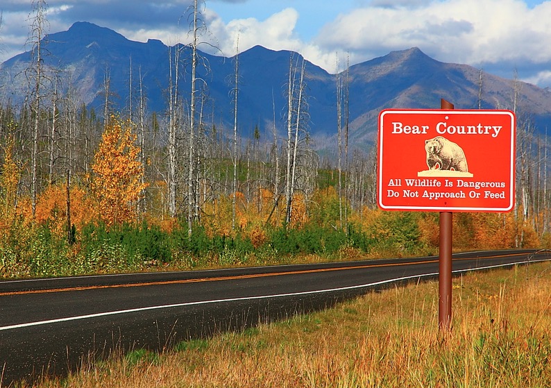
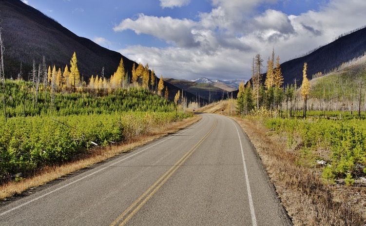
Camas Road spans nearly 12 miles in Glacier National Park, starting at its intersection with Going-to-the-Sun Road and ending at North Fork Road, which is located just outside of the park. The road is a two-lane, asphalt road that was originally constructed between 1960 and 1967, at a cost of $2.5 million. The road has particular historical significance due to the fact that it is arguably the best-preserved national park roadway that was built in the 20th century.
Since its construction, Camas Road has remained largely as it was built, in the same location and with the same design, with very few upgrades needed over the years. The road also features two notable bridges – the McDonald Creek Bridge and the North Fork Flathead River Bridge – and allows tourists to take in stunning views at the Flathead River Overlook.
Camas Road was constructed as part of the Mission 66 program, which was implemented to update and modernize National Park Service infrastructure from 1956-1966. In those ten years, over $1 billion in federal funds was used to enhance national parks, and Camas Road was the largest new road developed during this time. It was also the single biggest project undertaken at Glacier National Park during the Mission 66 program.
The road also has special significance for being the primary reason behind the failure of a plan to build a dam that would have taken up a great deal of Glacier National Park land and turned it into a reservoir. The Army Corps of Engineers and the Bureau of Reclamation had proposed the “Glacier View Dam” at the North Fork of the Flathead River, which would have modernized the area by turning thousands of acres of park land into a giant reservoir. Glacier National Park administrators, and much of the public, vehemently opposed this plan, as they wished to keep Glacier National Park more natural and primitive.
By building Camas Road, park administrators sought to increase tourist visitation to the North Fork area and outer edges of the park, and to provide an alternative route to Going-to-the-Sun Road, which was already becoming overcrowded with tourists. When Camas Road was completed, the congestion on Going-to-the-Sun Road was indeed lessened, and more visitors began to flock to the North Fork region, successfully fulfilling park officials’ vision.
While the plans for Camas Road originally included it becoming part of an “International Loop” that would have run into Canada, the road eventually became an integral part of the park, as a point of access for the North Fork. The International Loop never materialized, but Camas Road allowed Glacier National Park to successfully block the construction of a dam that would have greatly impacted the park as we know it today.
While Camas Road might not be the first thing you think of when you think Glacier National Park, the road that has played such an integral part in the park’s development is now listed as a designated Historic Place.


Speak Your Mind